Overview
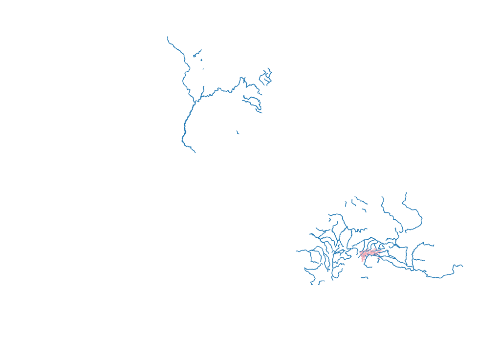
This project is a bit of a hodgepodge of related projects and isn’t really an end in itself. I like to make a number of historical maps, especially in Europe. Historical borders usually follow natural boundaries, like rivers or mountains. To help facilitate the creation of these maps, I thought it would be both fun and useful to make shape files of Europe’s rivers and the impassable parts of the Alps. In addition to Europe, I’ve started a shape file for rivers in the US, mostly for a future project in which I imagine a hypothetical US with borders developed by natural boundaries rather than latitude and longitude lines.
There’s not much to do with this project, other than continue adding rivers and/or mountains to the existing shape files. As I work on the shape files, I’ll include an updated map in the accompanying blog post. For now, I’ll post an “original” map for what the rivers looked like when I made this page.
Relevant Blog Posts
Distractions and Routines
It’s going to take some time for me to develop a routine with writing posts. I usually want to wait until I’m done working for the day to write, but sometimes that’s way too late at night (like yesterday). As I move into the fall semester of school, I’ll figure out whether mornings or evenings…
